 Avalon - Sea Level Rise and Climate Change Adaptation Plan
Avalon - Sea Level Rise and Climate Change Adaptation Plan
This landing page is designed as a one-stop-shop for all information about the Avalon Sea Level Rise and Climate Change Adaptation Plan project. You will find project updates, review documents and reports, navigate to virtual public meetings, and complete our community surveys.
For the project in Spanish, please click here // Para el proyecto en español, haga clic aquí
Events
Project Overview
HOW TO NAVIGATE THIS PROJECT WEBSITE
This project website is broken down into several tabs, as indicated above. Please make sure to read through the "Project Overview" to get a sense of this project. Learn about "Why Resiliency is Important" and how it impacts Avalon. Understand the "Site Context" by reviewing the project boundaries and site features. Review the "Project Schedule" for upcoming meetings and engagement opportunities. Read how you can "Stay Involved" during the duration of the project. And lastly, check out "FAQs" for any frequently asked questions and answers that will arise during the planning process.
Below, navigate through the various phases of our planning process.
"Avalon - Public Engagement Period #1". You can review information and the results from Survey #1, watch the recorded public meeting, and review all presentation material.
"Avalon - Public Engagement Period #2". You can review information on the planning adaptation tools and strategies and take the survey to provide input and feedback on the concepts provided.
Public Meeting #1 took place October 27-28, 2020.
The virtual session on October 28 was broadcasted LIVE on this project website and is now available for viewing under "Public Engagement Period #1".
Click here to learn more about Public Engagement Period #1, watch the recorded virtual meeting, and view the results from Survey #1.
Public Meeting #2 is scheduled for June 8, 2021 at Avalon City Council Chambers.
This in-person meeting will be your chance to learn more about the adaptation tools and strategies developed by the planning team.
Click here to learn more about Public Engagement Period #2 and provide input on the tools and strategies by taking part in Survey #2. The survey will close July 9, 2021.

Avalon - Public Engagement Period #1
The city of Avalon is planning for sea-level rise. Learn more about what we're doing to keep your community safe. Participate in Public Engagement Period #1 by completing the project survey.For the...
Avalon - Public Engagement Period #2
The city of Avalon is planning for sea-level rise. Learn more about what we're doing to keep your community safe.Participate in Public Engagement Period #2 by attending our public meeting on June 8th,...
HAVE A QUESTION FOR THE PROJECT TEAM?
We understand that you may have questions that go beyond the information we've provided. If so, we welcome you to email us at: AvalonSeaLevelRise@PublicInput.com. The project team will resond in a timely manner.
SUBSCRIBE TO RECEIVE THE LATEST PROJECT NEWS.
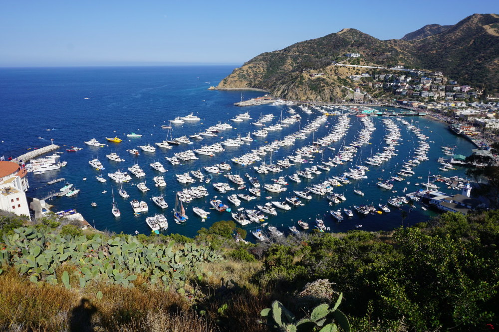
"Catalina Island, CA (Unedited)" by blakeecarroll2014 is marked with CC0 1.0. Image courtesy of Flickr.
PROJECT OVERVIEW
Avalon’s picturesque coastal village, nestled in Avalon Bay, draws more than one million visitors a year and for good reason – it is situated on the coveted 76 square mile Catalina Island of which 85% is designated an Open Space Conservancy. This vibrant, unique home to 4,000 residents relies heavily on its tourist-based economy as it frequently welcomes cruise ships and smaller vessels to the shores of its charming resort community.
This place matters. Avalon, like many coastal cities, is faced with inherent consequences of environmental changes and impacts this will have on its ability to sustainably thrive as a seaport location.
Avalon is developing a long-range plan for how sea level rise and climate change will impact the City’s coastal resources and infrastructure – and we need your help! Join us in identifying sustainable and resilient adaptation strategies to mitigate impacts to the City’s critical resources so Avalon can continue to prosper as a close-knit community and waterfront destination.
Avalon's waterfront is presently prone to marine related impacts from large storms, Santa Ana winds, and waves. This vulnerability is expected to increase due to sea level rise (SLR), climate change, and the degradation of natural and manmade coastal infrastructure. As part of this project, the Avalon Sea Level Rise and Climate Change Adaptation Plan: Baseline Conditions Assessment, available for review below in the "Available Reports and Documents" section, developed a roadmap for the City of Avalon to identify the risks to coastal resources and infrastructure and evaluate strategies to minimize, mitigate, or prevent damage to the coastal infrastructure from sea level rise and climate change. Critical transportation infrastructure included assets that are needed for the movement of people and goods, health and safety, emergency egress, business livelihood, and social interests.
This project builds on the findings of the City's Sea Level Rise Vulnerability Assessment Report. To learn more and read the Assessment Report, click here.
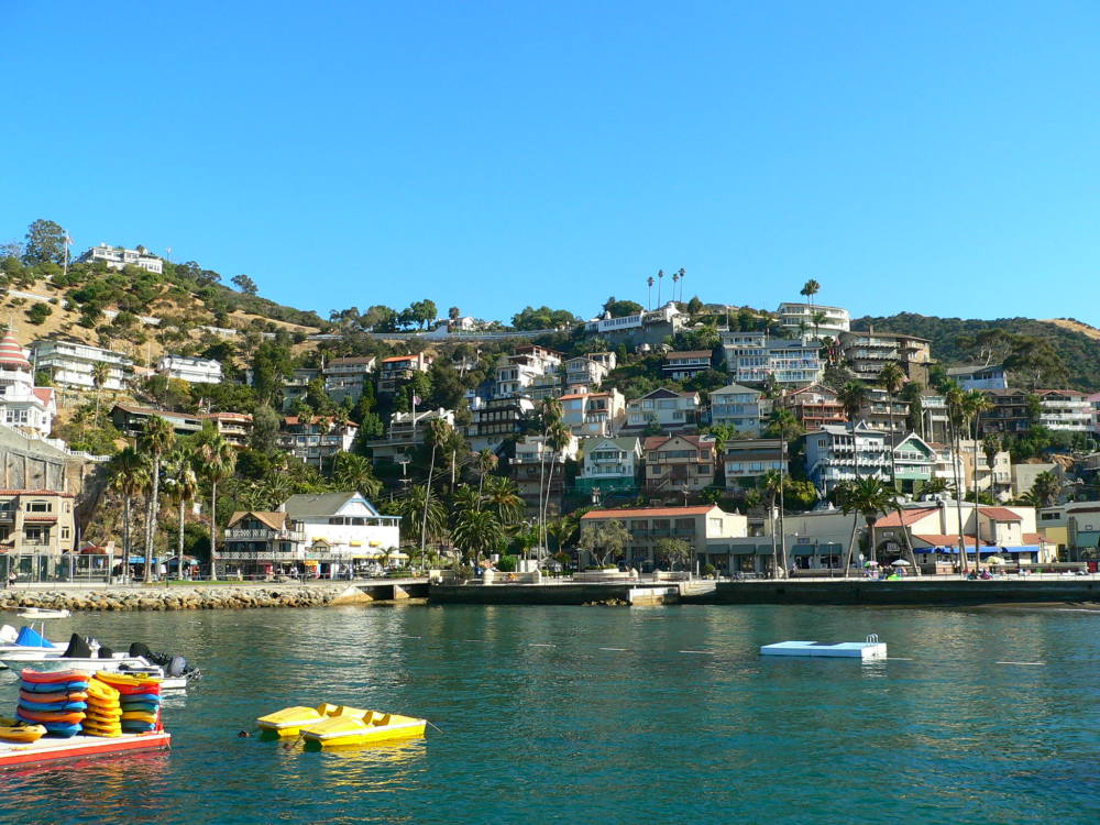
"Avalon, Santa Catalina Island" by Alkan de Beaumont Chaglar is licensed under CC BY-SA 2.0. Image courtesy of Flickr.
Available Reports and Documents
Please find below links to our available reports and documents. We will continue to add to this archive as materials are prepared, refined, and released.